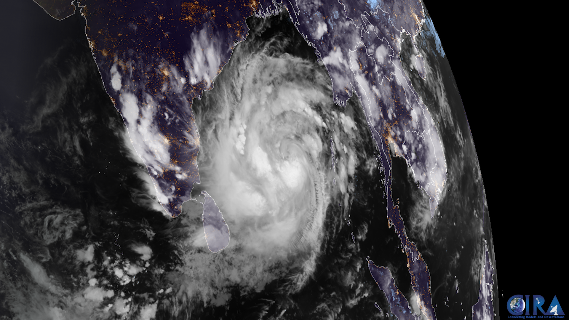
Bay of Bengal weather system (representative satellite image), Wikimedia Commons, public domain
The IMD’s extremely heavy rainfall warnings for September 23 cover Odisha, Andhra Pradesh and Telangana.
A deep depression over the Bay of Bengal is driving the alert.
It is expected to cross the coast near Kalingapatnam by Wednesday night.
People in affected areas have been advised to avoid waterlogged roads and seek shelter during lightning.
Local administrations in low-lying areas have been asked to remain alert.
The warnings are linked to a deep depression over the west-central and adjoining northwest Bay of Bengal.
The IMD said the system is expected to cross the north Andhra Pradesh-south Odisha coast between Visakhapatnam and Gopalpur, close to Kalingapatnam, by Wednesday night.
Coastal residents and fishermen were advised to treat marine warnings seriously and avoid venturing into the sea.
The IMD advised people to avoid waterlogged roads because of unpredictable depth and current.
People were also advised to seek shelter indoors during lightning and to stay away from open fields and isolated trees.
Local administrations in low-lying and drainage-prone areas were asked to stay alert.
The system follows an earlier spell of heavy rain over the same region on September 21-22, as the depression intensified over the Bay of Bengal.
Bengaluru was separately forecast to see thunderstorms with lightning and gusty winds of around 30-40 kmph.
Delhi-NCR was not under any rainfall warning for September 23.
The India Meteorological Department is the government’s nodal agency for weather forecasting and warnings.
Deep depressions of this kind are common over the Bay of Bengal during the post-monsoon and late monsoon period in September and October.
The IMD tracks such systems using satellite imagery, weather radar and a network of surface observation stations.
State disaster management authorities typically coordinate evacuation and relief measures in areas expecting extremely heavy rainfall.
Rivers and low-lying areas near the coast are especially monitored for flooding during such weather events.
Bay of Bengal weather system (representative satellite image), Wikimedia Commons, public domain